Two trips to the Sierra Nevadas fifteen years apart prove that the core message expressed in Split Enz’s refrain “history never repeats” is a load of crap.
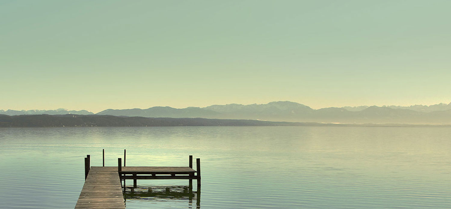
The Sierra last millenium
One January, in the fag-end years of the last century, then-partner Michelle, and long-time mate Ding and I left the fleshpots of Las Vegas and set a course for San Francisco. We’d upsized our rented sedan for a Dodge Caravan people mover for a bit more comfort and elbow room and, armed with a Rand McNally road atlas and a few days before our next confirmed booking at the Handlery hotel in SF, we set forth to explore the delights of Death Valley, Sierra Nevada and Yosemite en route.
Our trip took us along state highway 160 into the fringes of the Mojave desert. Passing clusters of enterprisingly multi-tasking art museums and brothels, we skipped through the town of Pahrump, crossing into California, and made our first stop at Furnace Creek in the heart of Death Valley. Interesting place – but maybe fodder for another posting.
We continued through Death Valley, and pointed the Dodge north near Lone Pine at the intersection with Highway 395, the looming bulk of Mount Whitney in the Sierra Nevada ranges blocking out the sun in the west and forcing me to turn up the car’s heater as the temperature plummeted. As we approached the township of Independence the hive mind took over and we all agreed to find a warm room for the night.
Checking into the only identifiable hotel in town, we were upgraded to what the hostess assured us was the room dedicated to American actor and war hero, Audie Murphy, when he starred in the dozens of westerns filmed in the nearby mountains and deserts.
Next day we continued north along 395, passing through Bishop before turning left towards Mammoth Lakes. We learned overnight that the pass over the Sierra to Yosemite was closed so opted then to aim for Lake Tahoe as our next stop along the way. We also learned there was a storm approaching from the north.
We explored Mammoth for a couple of hours before popping into the tourist information office where we learned that a severe snow storm was battering Oregon and was sweeping southwards rapidly, and to loiter in Mammoth would require
- snow chains on the car wheels (which we didn’t have)
- up to 3 days accommodation
Consensus was “stuff that!” and we sped off towards South Lake Tahoe where we could make for Sacramento on well-maintained roads sans snow chains.
Early afternoon,the sky was black. Snow flurries forced the wipers and headlights on and travel time increased as traffic slowed. About 2 hours and 80km up the road we confronted a police road block which diverted all traffic off to the right as the road south of Tahoe was snowed under.
The road was narrow, and more alarmingly, wasn’t marked on our road atlas, so we had no idea where we were- or were going. Snowfall approached blizzard levels; getting deeper on the road by the minute. As a bloke whose snow-driving experience amounted to two daytrips to Falls Creek – with hired chains- I wasn’t having a happy time. It was almost pitch-black, the heater and wipers running at full speed and all I could think of was news headlines reading “Three Aussie Morons Freeze To Death”.
Around an hour later, after slipping and sliding through snow drifts over two feet deep I noticed the flashing lights of an emergency vehicle and blundered into another cop and road diversion at a sign that read “Carson City 17 miles”. At least this road had been plowed. As we inched past the cop I glimpsed his puzzled expression as his torchlight hit the rear of the van.
Our debut in Carson City was in a formulaic multi-storey hotel-casino. I parked the van in the stackup carpark with a heart-rending sigh of relief and climbed out on wobbly legs. The rear door and window of the van were covered in ice to a depth of about four inches and I realised why I couldn’t see anything out the back.
After settling in, we headed to the bar for a calming litre of single malt and discovered a gaming/entertainment complex totally devoid of living beings save for floorstaff and we three. Whacko! Our very own casino! If only I found them entertaining. One benefit though; the scotch was plentiful and cheap.
Next day, under a clear blue sky darkened only by the fog of Laphroaig, we ventured out to Virginia City; a real town that looks more like a movie set than any Hollywood backlot. I didn’t hear any jungle drums, or notice any smoke signals, but we made quite a stir on the main street as we wandered from shop to shop in below-zero temperature; welcomed at every arrival with “You must be the crazy Aussies!”
Yeah. That’d be us.
The Sierra this year
We left our motel in the town of Bishop California, on Highway 395, after a fitful sleep punctuated by the mating sounds of hunters, if the gun racks in the pickups in the carpark are any indication. We’d arrived in Bishop after a long day’s drive across Nevada from Bryce Canyon City in Utah, via Zion National Park and the Extraterrestrial Highway.
Our plans were to cross the Tioga Pass through the Sierra Nevadas to Yosemite National Park; an easy drive of much less than 100km. But, as fate will have it, we arrived in the middle of an unseasonal cold snap and the Tioga Pass was closed to all traffic. History repeating #1.
Plan B was to continue northwards up 395 to Lake Tahoe and head west, skirting the northern tip of the highest points of the Sierra range and ultimately approach Yosemite from the gentler slopes to the west. A quick phone call to the hotel to reschedule our booking by one day gave us plenty of time to dawdle along the way.
Soon after leaving Bishop we began to notice increasing ice drifts on the roadside followed by the tell-tale scrapes of road-clearing snowploughs. At the junction to Mammoth Lakes we decided to take a short detour for a coffee and consult the Visitors Bureau.
The town was covered in snow, and the guide in the visitor’s centre advised that a storm was rapidly approaching and snow chains would be required on all vehicles in the area. History repeating #2.
What to do? Hang around Mammoth indefinitely or make a break for the safety of Carson City or Reno while there was still time?
History repeating #3?
No frickin’ way! It took precisely 7 seconds of risk analysis for this little black duck to loudly declare “We’re heading south!”
Consulting the Rand McNally 2012 edition for a pass through the Sierra further south, I found a ‘notch’ in the terrain almost at the southern tip of the mountain range and saw a road that the atlas classifies as ‘other through highway’. The other option was to proceed even further south and then turn right and skirt the entire range via Bakersfield. We had time aplenty, but the thought of driving through suburbia-in-the-desert didn’t appeal.
So, Michelle marked the route on the atlas; down Highway 395 about 140 miles to Indian Wells, then turn right along Hwy 178 past Isabella Lake, onto Route 155 through Wofford Heights and Alta Sierra and across to Delano where we catch Highway 99 and head north again. All up, I figured about 450km to Delano, and the atlas showed only a little bit of green mountain territory around Alta Sierra.
Too Easy!
The first leg was back to Bishop where we filled the tank then continued down the highway in the valley wedged between the twin Sierra ranges. We’d travelled this road 15 years before, from the opposite direction, so when passing through Independence we didn’t even stop to reminisce on Audie Murphy’s taste in western furniture. The car chewed up the miles and soon enough we passed Mount Whitney then the turnoff to Death Valley and Las Vegas.
With the vast China Lakes Weapons Centre to our left, and the Sequoia National Park to the right, the height of the Sierra range began to reduce and the prospects of an uneventful trip shone as bright as the sun. And not a skerrick of snow to be seen. Pretty soon we passed the region of Indian Wells and turned right on Route 178; the Isabella Walker Pass Road, which meandered for 20-odd miles through moderate hills until we arrived at Lake Isabella where we stopped for lunch.
LifeNotes curious factoid: The township is signposted as Lake Isabella, as is the main road which is the ‘spine’ of the community. The lake, however, is signposted as Isabella Lake and marked as such on the road atlas. Go figure.
It’s mid-season; not winter or summer, and most of Lake Isabella is closed, but we did manage to find the western diner known as The Cowgirl Cafe right next to the drive-through bank where we topped up with cash from the magic money machine. The tucker was typical of many diners we’d visited over the weeks, the portions huge and prices relatively small. And, as the only noticeably open joint in town, was doing a roaring trade.
Back in the car, we turned right and skirted the lake for a few miles until we found our next junction, Wofford Heights and cruised around until locating the poorly-placed sign indicating Route 155; the narrow, twisting road to Alta Sierra and Delano.
Almost immediately the road commenced a relentless, twisting climb higher and higher into the densely forested Sierra. The temperature dropped like a bride’s nightie and snow flurries wafted against the windscreen. “She’ll be right”, I thought, “It’s only a few kilometres to the end of the ‘green’ patch on the map”.
The further we drove, the higher we climbed, the thicker the snow on the road and trees. And the heater was turned up to the max. My thoughts shot back fifteen years to a chillingly similar episode a couple of hunded kilometres further north. And we were not amused, though at least this SUV had chunkier tyres than those on the Caravan all those years ago.
Climbing higher still, we finally noticed several snow-covered timber cabins alongside the road; giving feeble hope of somewhere to hunker down, or at very least perform a U-turn without sinking into a snow drift.
An eternity later, still climbing, we rounded a bend and spotted a sign indicating our arrival in Alta Sierra. In any other circumstances it may have been an attractive little village, but today Alta Sierra is the physical manifestation of the nine layers of hell, albeit an especially icy hell. No lights, no cars, in fact no sign of life except for the sign placed against a snow-covered bus shelter that read “Caution Ice Over Road”.
Right about that time I wanted to curl up into a foetal position and suck my thumb until all the bad things went away.
The bus shelter was at the pinnacle of the road and, cresting that peak, the headlights shone down on the narrow, steeply descending road glowing white with ice.
It only looked like a hundred metres or so (it was all we could see in the mid-afternoon gloom of the dense forest) and there was no way of knowing what lay beyond. But, there was still no obvious way of safely executing a U-turn for an escape back down the mountain.
I slammed the auto into “Low”, pulled the handbake on a couple of notches, not enough to lock the wheels, and began the laborious crawl down the white-ice road. Left hand steering, right hand tweaking the handbrake pressure, the car inched forward while the Ipod played “Rainy night in Georgia” (if only!).
A few very long minutes later we stopped hearing the sound of ice being crushed by 19″ wheels and breathed such a joint sigh of relief the windscreen fogged up. We’d made it through safely! Well that particular hazard anyway. Who knows what lies ahead?
Fortunately, nothing as dire as that ice sheet. We were indeed descending after peaking at Alta Sierra, and though the snow was thick and deep on the ground, the road was relatively snow and ice free. Each mile we drove took us lower down the mountain and the air cleared of snow. The sequoia forest gave way to a more bucolic atmosphere (at one stage I was sure I heard duelling banjos) and the road finally levelled out and widened to become more of a highway.
We finally arrived at Delano and the junction with Highway 99, the Golden State Highway, and the beginning of our next (mis)adventure. But that might be the subject for another day.
LifeNotes FootNote:
Alta Sierra translates as High Sierra. Not Other Sierra that I told Michelle when I persuaded her that we would take the route. Don’t tell her.