 We cheerfully bailed out of the disappointing Monument Valley Hotel early in the morning, with a drive along Utah’s Scenic Byways to Bryce Canyon City planned for the day ahead.
I’d planned the route originally on Google maps, intending to capture as much of the spectacular Colorado Plateau scenery as possible. As the cellular reception was virtually non-existent, and SatNav reliability was out of the question so we had to rely on the fallback Rand McNally 2012 road atlas to keep us on the straight and narrow.
When we picked up SUSOW at McCarran airport days ago, I decided to forego the offer of 2nd-driver insurance, rather trusting in my own superlative driving skills to ferry us safely through the journey.
But this day our travels were along scantly-travelled roads, at least in the off-season, so I asked Mitch if she’d like to take the wheel for the morning part of our drive. I figured we’d be highly unlikely to have a multi-car collision way out here, and if any unwitnessed accident happened I could always say I was the driver.
She happily accepted the duty and I got to sit in the passenger seat for a few hours.
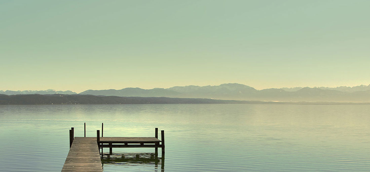
So, we exited the Monument Valley National Park and turned right, out of the Navajo Nation on to US Scenic Route 163, with the objective of breakfast at the town of Mexican Hat a few miles up the road.
The road was remarkably traffic-free, and the drive north was smooth and easy as the sun climbed higher over the horizon. Mexican Hat turned out to be a ghost trown, not much more than a boarded-up RV park and an derelict ore-crusher so it looked like brekkie was on the back-burner for a while.
The planned route took us further north to a town named Blanding, turning south-west to skirt the Valley of the Gods before heading 120 miles northwest through the Dark Canyon Wilderness to the town of Hanksville, where we planned a lunch break and a driving shift change.
The road atlas showed a fairly straight road just north of Mexican Hat that deviated left of the Valley of the Gods and connected with the road to Hanksville at Natural Bridges National Monument, about twenty miles west of Blanding. By taking this route we would avoid a sizeable deviation and save at least an hour’s driving. So, on the spur of the moment I told Mitch to turn left off the Scenic Byway onto Utah Route 261 and a thity five mile drive to the next turnoff.
The first few miles of this deviation were smooth and car-free and we enjoyed the feeling of freedom and isolation in this remote stretch of the country. But as the miles ticked by, the road appeared to head straight towards the base of a large, flat mountain.
Curious, nothing remotely mountainous featured on the Rand McNally, or the printoff of the Google Map I’d made. So I figured the road would skirt the mountain, even though it seemed to stretch to the horizon on both sides.
I was wrong, the road continued directly to the base of the mountain.
 We finally arrived at the foot of this mountain, easily a thousand feet high and the sealed road abruptly stopped and morphed into a gravel road that lurched off to the right and began to climb the side of the mountain.
At this stage Mitch was remarkably calm and she kicked the auto down a gear to allow the lumbering hulk of the Dodge Nitro to climb the ever-increasing incline.
As the car climbed higher and higher, through some alarmingly tight switchbacks, I noticed Mitch’s grip tighten on the steering wheel and her knuckles literally turning white. The road was certainly wide enough, and fairly well maintained, but the loose gravel on the road shoulder, and the complete absence of safety railing on the sheer cliffs cut out of the mountain wall were starting to play with her mind.
At one level stretch of the road, widened to incorporate a tight bend and scenic lookout I asked her to stop the car so I could take a couple of photos and take the wheel.
“Shit No!” was the reply. “As long as I have to watch the road I don’t have to look out the side”.
Mitch isn’t all that good with heights.

So, biting the metaphorical bullet, she started the car and we continued the climb the twisting road at a steady, if slow, pace.
Another few minutes saw us breach the top of the immense mountain and safety was highlighted by the return of a paved road surface on a more or less horizontal plane. And the first car we’d seen for ages came towards us; the driver giving a cheerful wave as he approached the gravel road and inevitable descent.
I later learned that this stretch of road is known as the Moki Dugway, and it’s a 3 mile stretch of road that climbs 1200 feet up the mountain known as Cedar Mesa at a minimum 10% grade. It was built in the late 1950s by a mining company to allow the shipment of uranium ore from a nearby mine to the now-abandoned processing plant in Mexican Hat.
“Moki” is a phonetic variation of the Spanish word Moqui which refers to the indigenous population of the area. According to the Merriam-Webster dictionary, a dugway is “a road constructed along a hillside by using for the fill on the downhill side material excavated immediately above it”.
It’s also a very high ranker on the list of American “Adventure Roads” and is definitely one I wouldn’t want to drive down in inclement weather. There are numerous points where you can see the rusting hulks of vehicles that missed a corner or drifted too close to the unguarded shoulders and took an unscheduled plunge.
So, I’m pretty proud of the way Mitch handled herself on the sometimes terrifying switchbacks.
Take the drive yourself …
